Why are networked rain gauge systems essential for flood prediction and management?

Floods are one of the most destructive natural disasters globally, leading to loss of lives, displacement of people, and economic damage. Predicting floods accurately and managing their impact requires access to precise and timely rainfall data. Networked rain gauge systems provide a solution by offering real-time, location-specific precipitation measurements. These systems have become essential components of modern flood prediction and disaster management systems.
Understanding Networked Rain Gauge Systems
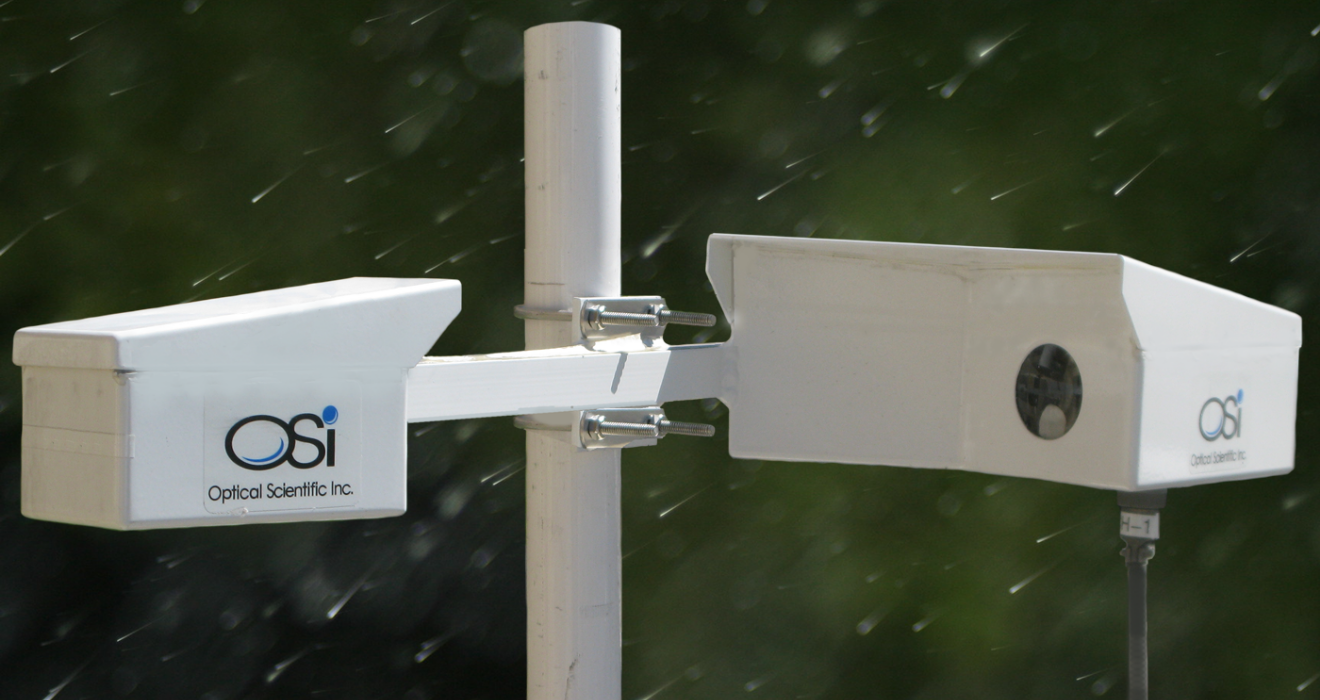
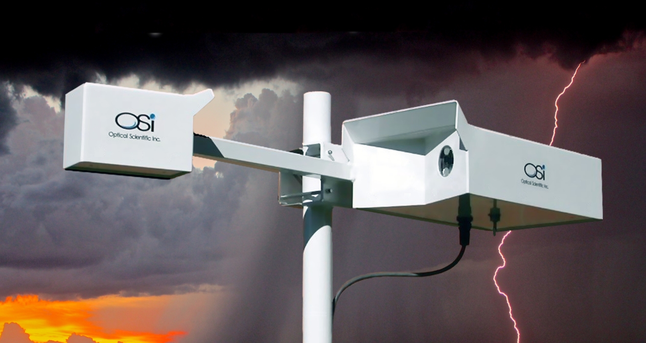
A networked rain gauge system comprises multiple rain gauges placed strategically across a geographic region. Each gauge records rainfall data and transmits it via communication networks—such as satellite, GSM, or the internet – to a centralized data processing center. These networks may include automatic tipping-bucket gauges, weighing gauges, or optical sensors.
The interconnected nature of these systems allows for continuous monitoring and assessment of rainfall over large areas. When rainfall data from different gauges are combined, a clearer picture of regional precipitation trends emerges. This data becomes especially valuable in hydrological modeling used for flood forecasting. Find out our all precipitation weather identifier and gauges.
Importance of Rain Gauge Density in Flood Forecasting
Rain gauge density refers to the number of gauges per unit area. A sparse rain gauge network may miss localized intense rainfall events, leading to underestimation or misjudgment of flood risks. In contrast, a denser network can detect variations in rainfall distribution and intensity, enhancing model accuracy.
For example, mountainous regions or areas with varied terrain often experience localized downpours. Without sufficient gauge density, these micro-climatic events go unnoticed, weakening flood forecasting models. Studies have confirmed that higher rain gauge density leads to better simulation of runoff and flood flows. Therefore, increasing the number and strategic placement of rain gauges is crucial for improving predictive capabilities.
Integration with Remote Sensing and Radar Data for Flood Monitoring
While rain gauges provide ground-based measurements, integrating their data with radar and satellite observations enhances overall rainfall analysis. Radar systems can cover wide areas with high temporal resolution, detecting storm movements, and precipitation patterns. However, radar estimates often require calibration, which is done using data from rain gauges.
This integration allows meteorologists to map rainfall intensity and coverage in near real-time. Satellite-derived precipitation data, especially in remote or under-monitored regions, combined with ground-based observations, improves rainfall estimation and flood risk assessment. This fusion of data from various sources enables comprehensive monitoring and increases the reliability of flood forecasts.
Real-Time Data Transmission Supports Flood Early Warning Systems
Real-time transmission of rainfall data is one of the most important features of a networked rain gauge system. Through telemetry, rainfall data is transmitted instantly to control centers or cloud-based platforms. This allows emergency response teams and meteorological agencies to track developing weather conditions.
When rainfall exceeds critical thresholds, alerts can be automatically generated and disseminated to the public through SMS, radio, or mobile applications. Such early warning systems have been successful in reducing casualties and enabling preemptive action like evacuation or dam management. Without real-time data, response times are delayed, and the risks associated with floods increase significantly.
Optimizing Rain Gauge Network Design for Maximum Efficiency
Designing a rain gauge network is not merely about placing instruments randomly. It requires careful planning to ensure maximum coverage with minimum redundancy. Factors considered in network design include climate variability, topography, land use, and historical rainfall trends.
Advanced geospatial tools such as GIS (Geographic Information Systems) and hydrological modeling software are used to evaluate different network configurations. Optimization techniques, including geostatistical analysis and multi-objective algorithms, help determine ideal locations for installing gauges. These approaches ensure cost-effective network designs that provide high-quality data for flood forecasting.
Role of Networked Rain Gauge Systems in Urban Flood Management
Urban areas face a higher risk of flash flooding due to impermeable surfaces, dense infrastructure, and poor drainage systems. In cities, even moderate rainfall can lead to significant water accumulation if it is not properly managed. Networked rain gauges help address this issue by providing detailed, location-specific rainfall data.
Real-time rainfall data helps municipal authorities monitor stormwater drains and predict overflow risks. For instance, cities like Kuala Lumpur, Singapore, and Tokyo have implemented dense rain gauge networks to support real-time flood management operations. This localized approach ensures that infrastructure can respond quickly to short-term weather extremes, reducing the severity of urban flooding.
Enhancing Predictive Analytics with Sensor Data Integration
Flood prediction is more effective when multiple environmental variables are monitored simultaneously. Rain gauge systems can be integrated with other sensors, such as:
- Soil moisture sensors
- River level gauges
- Groundwater monitoring systems
- Atmospheric pressure sensors
This combination of data provides a holistic view of watershed conditions. For example, saturated soils combined with high rainfall significantly increases the likelihood of runoff and flooding. Predictive models that use data from multiple sources—including rain gauges—are better equipped to simulate and forecast such events. The application of machine learning and artificial intelligence further refines these models by recognizing patterns and making data-driven predictions.
Supporting Integrated Flood Management (IFM) Strategies
Integrated Flood Management (IFM) is a sustainable and coordinated approach that emphasizes using land and water resources responsibly to minimize flood risks. Rainfall monitoring plays a central role in this strategy by informing land-use planning, watershed management, and emergency preparedness.
Networked rain gauge systems support IFM by offering reliable data that influences infrastructure development, such as the sizing of culverts, stormwater basins, and retention ponds. They also help evaluate the effectiveness of past mitigation efforts. For example, comparing rainfall with flood outcomes allows planners to adjust strategies and build more resilient communities.
Community-Based Networks: The CoCoRaHS Model
The Community Collaborative Rain, Hail, and Snow Network (CoCoRaHS) is a successful example of how public participation can enhance rain gauge networks. Operating in the United States and expanding internationally, CoCoRaHS engages volunteers in measuring and reporting daily precipitation from their locations.
This citizen science model significantly increases data availability, especially in areas not covered by government-installed gauges. The data contributes to weather forecasting and monitoring by networked rain gauges, flood prediction, and climate research. By leveraging community support, CoCoRaHS demonstrates that rain gauge networks can be expanded effectively and cost-efficiently.
Challenges in Implementing Rain Gauge Networks and Future Outlook
Despite their importance, networked rain gauge systems face several implementation challenges:
- High initial setup and maintenance costs
- Power and communication infrastructure limitations
- Data storage and processing requirements
- Vandalism or environmental damage to instruments
However, technological advancements are addressing many of these concerns. Low-cost IoT (Internet of Things) rain gauges, solar-powered stations, and cloud-based data platforms are reducing operational challenges. Additionally, artificial intelligence and big data analytics improve the interpretation of rainfall trends for better flood preparedness.
Future developments will likely focus on automation, remote maintenance, and greater integration with national and international disaster response systems. Governments and agencies must invest in expanding and modernizing rain gauge networks as climate change increases rainfall variability and flood risks globally.
Conclusion
Networked rain gauge systems are a foundational element of effective flood prediction and management. They provide accurate, real-time, and location-specific rainfall data essential for early warnings, urban flood control, and integrated flood management strategies. When combined with remote sensing, predictive analytics, and community engagement, these systems enhance the resilience of communities against floods.
As extreme weather events become more frequent, countries must prioritize investment in advanced rain gauge networks to protect lives, reduce economic losses, and build adaptive capacity in the face of climate uncertainty.
Looking to enhance your flood prediction and water management strategies? Optical Scientific, Inc. offers advanced, networked rain gauge systems delivering precise, real-time data you can rely on. Contact us or reach out info@opticalscientific.com for more information.

